

Navigators sometimes recognize a greenish tint to the sky above a not-yet-visible island. Clouds may gather over a volcanic peak.
And sailors in the Solomon Islands’ Vaeakau-Taumako region report underwater streaks of light known as te lapa, which they say point toward distant islands. One well-known researcher has expressed confidence in te lapa’s existence and utility. Some scholars have suggested that it could be a bioluminescent or electromagnetic phenomenon. On the other hand, despite a year of concerted effort, I was unable to confirm its presence.
Estimating one’s position at sea is another challenge. Stars move along a given parallel and indicate one’s latitude. To gauge longitude, by contrast, requires dead reckoning. Navigators calculate their position by keeping track of their starting point, direction, speed and time at sea.
Some Micronesian navigators estimate their progress through a system known as etak. They visualize the angle between their canoe, pictured as stationary, and a reference island that is off to one side and represented as moving. Western researchers have speculated on how etak works, but there is no consensus yet.
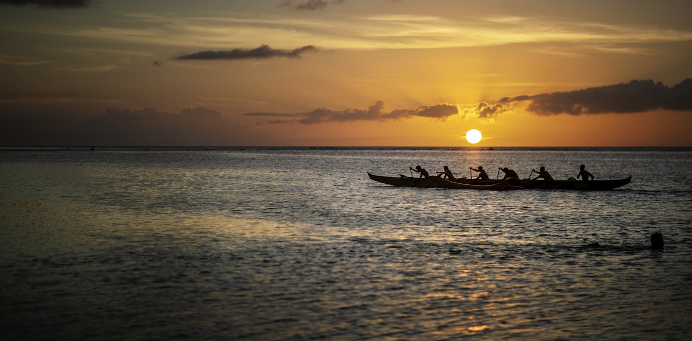
For millennia, Pacific voyagers have relied on techniques such as these to reach thousands of islands, strewn throughout our planet’s largest ocean. They did so without Western instruments. Instead, they held sophisticated knowledge and shared understandings, passed by word of mouth, through countless generations.